Major Winter Storms to Bring Snow and Ice Across the Midwest and East Coast
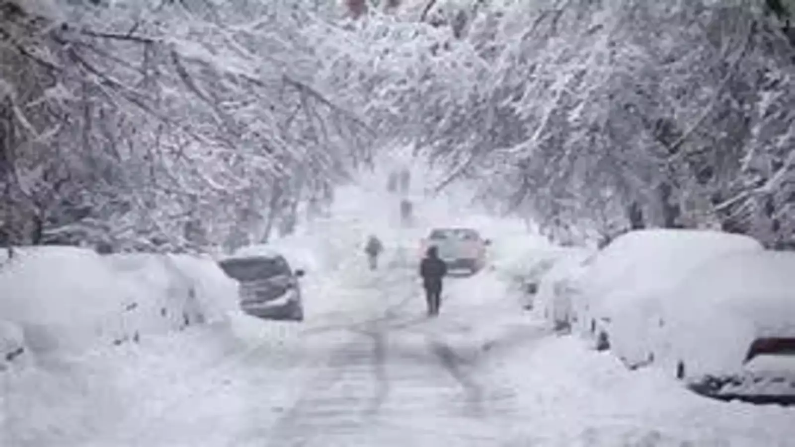
A series of powerful winter storms are set to bring heavy snow, ice, and rain across the Midwest and East Coast this week, affecting millions of residents from Kansas to Massachusetts. Meteorologists warn of significant snowfall accumulation, travel disruptions, and potential power outages as these storms sweep through various states.
Double Storm Threat: What to Expect
According to AccuWeather, the first storm will emerge in the southern Plains and move rapidly toward the East Coast by Tuesday. This system will bring precipitation across Kansas, Oklahoma, and Texas late Monday before intensifying.
Another storm will closely follow, beginning Wednesday, impacting many of the same regions with additional snowfall and icy conditions. AccuWeather meteorologist Alex Duffus stated that parts of Pennsylvania, New York, and Massachusetts could experience substantial ice accumulation later in the week.

Here’s what to expect across major cities:
Washington, D.C., and Baltimore
A winter storm warning is in effect for much of Virginia, West Virginia, and North Carolina from Tuesday morning through Tuesday night, with additional warnings expected.
- Snowfall forecast: 3 to 6 inches in the D.C. area, 3 to 5 inches in Baltimore.
- Impact: Difficult travel conditions due to snow-covered roads and reduced visibility.
Philadelphia
The National Weather Service (NWS) in Mount Holly predicts that snow will begin Tuesday afternoon, spreading northward and tapering off by Wednesday morning.
- Snowfall forecast: 3 to 4 inches in Philadelphia and Wilmington.
- Higher amounts: 4 to 6 inches across Delmarva and southern New Jersey, with localized areas reaching 6 to 8 inches.
- Additional snow: Expected near the I-95 and I-78 corridors by Wednesday night.
Pittsburgh
The NWS in Pittsburgh has issued a winter storm watch for Preston and Tucker Counties from Tuesday into Wednesday.

- Snowfall forecast: 6 inches or more possible.
- Uncertainty: The snowfall range depends on the storm’s final track, with another system expected Wednesday night, bringing additional snow and freezing rain.
Chicago
The NWS Chicago warns that a winter system will impact the region by Wednesday.
- Snowfall forecast: Several inches of snow are likely in northern Illinois and northwest Indiana.
- Impact: Dangerous travel conditions, especially during the Wednesday evening commute.
Indianapolis
Two storm systems could impact central Indiana this week:
- First storm (Tuesday): Snow accumulation of up to 1 inch possible, with heaviest snowfall in the afternoon and evening.
- Second storm (Wednesday evening): Higher snowfall totals expected in northern and western Indiana.
Louisville
The NWS Louisville has issued a winter storm watch from Monday evening through Wednesday morning.
- Snowfall forecast: More than 4 inches possible.
- Impact: Hazardous travel due to heavy snowfall rates, slick roads, and poor visibility.
- Flood concerns: South of Louisville, heavy rainfall may lead to river flooding.
Kansas City
The NWS Kansas City forecasts two winter storm systems this week:

- First system (Monday night into Tuesday): Light snow, minimal accumulation.
- Second system (Tuesday night into Wednesday): Widespread snowfall of 6 inches or more, with some areas exceeding 10 inches.
- Impact: Snowfall throughout Wednesday, affecting both morning and evening commutes.
Be Prepared
Residents in affected areas should prepare for hazardous conditions, including difficult travel, possible school and business closures, and power outages due to heavy snow and ice. Authorities recommend stocking up on essential supplies, staying updated on local forecasts, and exercising caution on roads.
Disclaimer – Our team has carefully fact-checked this article to make sure it’s accurate and free from any misinformation. We’re dedicated to keeping our content honest and reliable for our readers.