
Residents in Asheville and surrounding areas are bracing for strong winds reaching up to 55 mph as a Wind Advisory remains in effect until 6 AM. The National Weather Service (NWS) has issued this advisory due to the potential for downed trees, power outages, and hazardous travel conditions.
Strong Winds Expected to Continue Overnight
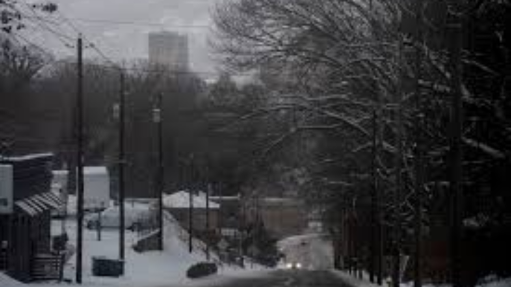
The advisory, which went into effect earlier in the evening, is impacting Western North Carolina, including Asheville, Boone, and parts of the Blue Ridge Parkway. Winds are expected to peak overnight before gradually diminishing after sunrise.
According to the NWS Greenville-Spartanburg Office, sustained winds of 25-35 mph are being recorded, with gusts as high as 55 mph in higher elevations. The strongest gusts are expected in exposed ridges and mountain passes.
NWS Statement: “These winds may cause hazardous conditions, particularly for high-profile vehicles and outdoor activities. Residents should secure loose objects and prepare for possible power disruptions.”

Impacts of Strong Winds in Asheville
As the winds pick up, residents should be aware of the following risks:
1. Power Outages and Tree Damage
- High winds can knock down power lines and trees, leading to localized power outages.
- Asheville’s dense tree coverage increases the likelihood of fallen branches blocking roads or damaging structures.
- Utility crews are on standby to address outages and restore power as quickly as possible.
2. Hazardous Driving Conditions
- Drivers, especially those operating high-profile vehicles such as trucks, RVs, and trailers, should use extra caution on bridges and open roadways.
- Winds can create dangerous crosswinds, making it difficult to maintain vehicle control.
- The Blue Ridge Parkway and I-26 are particularly vulnerable to wind gusts in mountain gaps.
3. Outdoor Safety Concerns
- Loose objects such as patio furniture, trash cans, and decorations should be secured or brought indoors.
- Residents are advised to avoid unnecessary travel, especially in wooded areas where falling branches could pose a risk.
- Hiking and camping activities should be postponed due to increased risk of falling debris.
Weather Forecast for the Asheville Area
The strong winds are being driven by a cold front sweeping across the region, bringing cooler temperatures and dry conditions in its wake.
- Overnight: Winds remain strong, with gusts up to 55 mph, decreasing after 6 AM.
- Thursday Morning: Breezy conditions persist, but gusts will drop below 30 mph by mid-morning.
- Thursday Afternoon: Skies will be mostly sunny with highs in the mid-50s.
- Friday: Cooler weather settles in, with overnight lows in the 30s and calmer winds.
Precautionary Measures for Residents
How to Prepare for High Winds
- Charge electronic devices in case of power outages.
- Secure outdoor furniture, grills, and lightweight objects.
- Avoid parking under large trees or power lines.
- Have flashlights and emergency supplies ready.
Driving Tips in High Winds
- Keep both hands firmly on the wheel.
- Reduce speed and maintain a safe distance from other vehicles.
- Be cautious of falling debris and sudden wind gusts.
- Avoid travel in exposed areas, especially bridges and mountain passes.
Power Outage Reports and Emergency Contacts
Residents experiencing power outages should report them to their local utility provider.
- Duke Energy: Report outages at duke-energy.com or call 800-769-3766.
- Blue Ridge Energy: Outage updates at blueridgeenergy.com or call 800-448-2383.
- Asheville Emergency Services: Dial 911 for immediate assistance in hazardous situations.
When Will the Wind Advisory End?
The Wind Advisory is expected to expire at 6 AM Thursday, with winds gradually weakening throughout the morning. While gusty conditions may linger into the afternoon, they will no longer pose a major threat by midday.

Officials urge residents to stay informed through the National Weather Service and local news updates for any changes in conditions.
For the latest weather alerts and updates, visit weather.gov.
Disclaimer – Our team has carefully fact-checked this article to make sure it’s accurate and free from any misinformation. We’re dedicated to keeping our content honest and reliable for our readers.