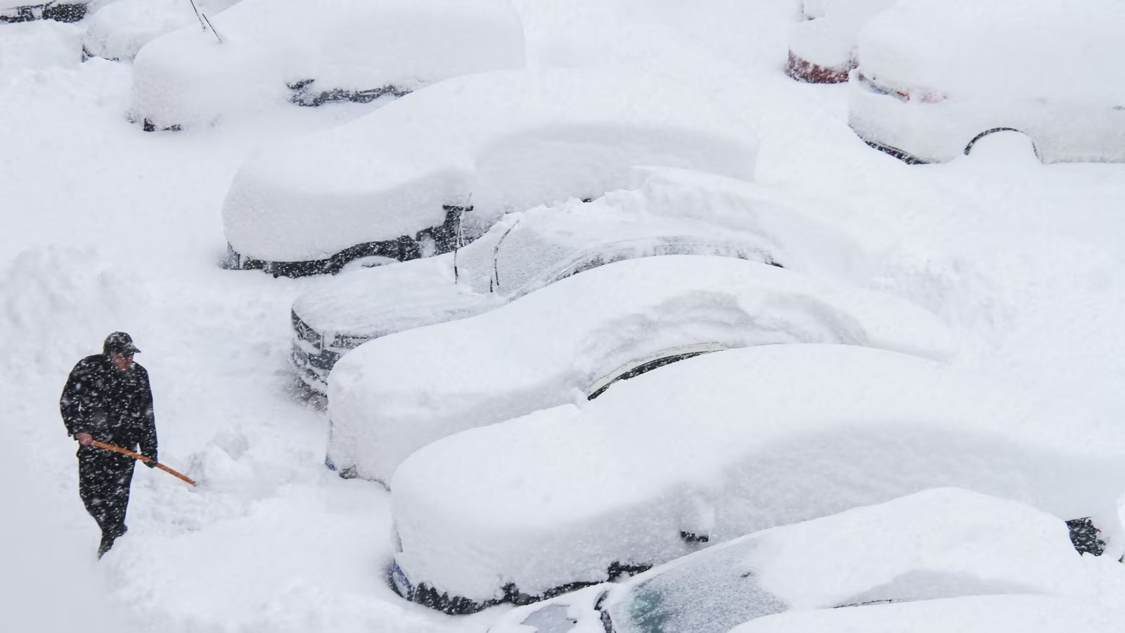
A new winter storm is on its way, and it is expected to bring a mix of snow, ice, and freezing rain across the Northeast. This storm is predicted to start on Saturday, February 15, with conditions lasting into Sunday, February 16, according to the National Weather Service (NWS).
The storm will likely begin in the early afternoon on Saturday, starting as rain in most areas but quickly changing to freezing rain by late Saturday night. As the storm moves northward, snow and sleet will mix in, and some areas could see several inches of snow. By Sunday, the storm is expected to transition into rain, except for the far northern regions where the wintry mix will continue.
Snowfall Projections: What to Expect
AccuWeather meteorologists have projected snowfall amounts across several areas in the Northeast. In places like northern New Jersey, Pennsylvania, the Hudson Valley, and much of New England, snowfall amounts are expected to range from 1 to 3 inches. Meanwhile, areas further inland can expect 4 to 6 inches of snow.
Here is a breakdown of the snowfall projections:

- 1 to 3 inches: Lightest shade of blue
- 3 to 6 inches: Medium shade of blue
- 6 to 12 inches: Darkest shade of blue
It’s important to note that these snowfall totals could shift as the storm develops and moves through the region.
Icy Conditions: A Serious Concern
While snow is expected to cover several areas, the bigger concern for many is the threat of ice. According to the NWS, certain areas of the Northeast are predicted to experience significant icing, especially in regions marked with a darker shade of pink on the forecast maps.
The NWS warns residents to be prepared for hazardous conditions, particularly on the roads. Icy surfaces can make driving dangerous, so it’s important to slow down and exercise caution while on the road. If you need to go outside, the NWS advises being cautious when taking your first few steps on stairs, sidewalks, and driveways as they could be slippery, which increases the risk of falls and injuries.
Weather on Sunday and Monday

Rain is expected to taper off to showers on Sunday, with conditions clearing up from south to north throughout the day.
Looking ahead to Monday, February 17, the outlook is much colder. The forecast calls for sunny but frigid weather as a blast of Arctic air moves through the region. Another winter storm may develop later in the week, bringing additional snow and ice to parts of the Northeast.
What You Can Do to Prepare
To stay safe during the storm, the NWS recommends several actions:
- Keep an eye on weather alerts and forecasts for the latest updates.
- Ensure that you have a supply of essentials like food, water, and medications in case of power outages.
- Be cautious when driving or walking, as icy conditions can develop quickly.
- Clear snow and ice from driveways and walkways to avoid slips and falls.
Check for Updates

For ongoing updates on the winter storm, keep checking local news stations, weather websites, and apps. Make sure to stay prepared and safe as you navigate these challenging weather conditions.
Disclaimer – Our team has carefully fact-checked this article to make sure it’s accurate and free from any misinformation. We’re dedicated to keeping our content honest and reliable for our readers.