Winter weather is returning with a bang as heavy snow makes its way to Colorado’s mountains starting this Sunday. Residents and travelers should brace for potential disruptions and cold temperatures as a winter storm watch has been issued from Sunday night through Tuesday morning.
Snowstorm Details
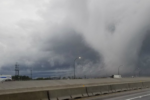
The day will start mostly sunny to partly cloudy on Sunday, but snow will begin to roll into the high country by the afternoon. Forecasts predict significant snowfall, with some mountain areas receiving up to 2 feet of snow. This could create major road impacts, particularly for those traveling to ski areas or through mountain passes.
The storm will move southward, starting in the northern mountains, and will likely disrupt Sunday evening and Monday morning commutes in high-altitude regions.

Winter Storm Watch in Effect
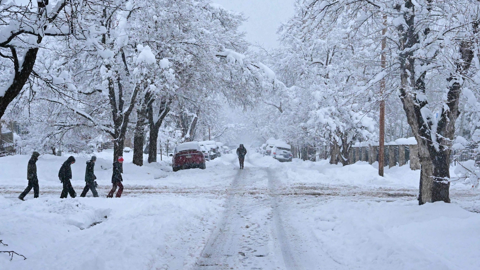
A winter storm watch has been announced for Sunday night through Tuesday morning. Areas under the watch are expected to see 10 to 24 inches of snow, making travel hazardous.
As the snow intensifies, it will spread to the plains by Monday. Light snow accumulations are anticipated along the Wyoming and Nebraska borders, with southeastern plains seeing a few inches by Monday night.
Cold Arctic Air to Follow
The snowstorm is accompanied by a push of arctic air, bringing freezing temperatures to northeastern Colorado. Monday’s highs will struggle, with temperatures in the teens on the northeastern plains and only reaching 40 degrees in southern Colorado.
Extended Forecast
- Tuesday-Wednesday: The cold air will persist, with highs barely climbing into the 20s and 30s across the plains. This means it will feel especially frigid, particularly during early mornings and evenings.
- Thursday: Temperatures will slowly rise as the arctic air starts to ease.
- Weekend: Milder temperatures are expected, with a gradual warm-up bringing some relief to the region.
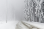
Residents should stay cautious about slick roads, potential fog, and challenging driving conditions throughout the week. This active weather pattern will require close attention to forecasts and updates.
Quick Tips for Navigating the Storm
- Travel Safely: If you must travel, check road conditions before heading out, and carry winter essentials in your vehicle.
- Prepare for Delays: Expect slower commutes and possible closures in the high country.
- Stay Warm: Dress in layers and stay indoors when possible to avoid exposure to the biting cold.
- Check Updates: Follow live weather streams and updates to plan your day effectively.
For more information, access Denver’s Hourly Forecast, Radars, and live weather updates using Denver7’s 24/7 Weather Stream.
Disclaimer – Our team has carefully fact-checked this article to make sure it’s accurate and free from any misinformation. We’re dedicated to keeping our content honest and reliable for our readers.