Residents of South Carolina are on high alert as meteorologists warn of severe storms and potential flooding along the I-85 corridor this Sunday. The anticipated weather system is expected to bring heavy rainfall, strong winds, and isolated thunderstorms, posing risks to travel and property.
Storm Forecast and Timing
According to the National Weather Service (NWS), the storm system will begin impacting the region early Sunday morning, with the heaviest rainfall expected by midday. Accumulations of 2 to 4 inches are forecasted, with localized areas receiving even higher amounts. The combination of saturated ground from recent rainfall and the expected downpour increases the likelihood of flash flooding, particularly in low-lying areas.
Flooding Concerns
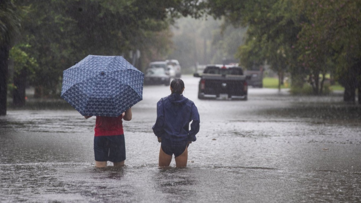
The I-85 corridor, a major transportation artery, is particularly vulnerable to flooding due to its proximity to rivers and urban areas with poor drainage systems. Motorists are advised to exercise caution, as standing water and reduced visibility could make driving hazardous. Authorities have issued flash flood watches for Greenville, Spartanburg, and surrounding counties.

Local officials are urging residents to prepare for potential flooding by securing outdoor items, clearing storm drains, and avoiding travel in flood-prone areas. In addition, homeowners in flood zones are encouraged to monitor water levels and be ready to evacuate if necessary.
Severe Weather Threats
In addition to flooding, the storm system brings the potential for isolated severe thunderstorms. The primary risks include damaging wind gusts up to 60 mph and the possibility of hail. While the tornado threat is low, it cannot be entirely ruled out.
Emergency Preparedness
Emergency services are on standby, and shelters are being prepared in case of evacuations. Residents are encouraged to keep emergency kits ready, including flashlights, batteries, non-perishable food, and bottled water. Local authorities have emphasized the importance of staying informed through weather alerts and updates from trusted sources.

What’s Next?
The storm system is expected to move out of the area by late Sunday night, leaving behind cooler temperatures but potentially lingering impacts from flooding. As cleanup efforts begin, officials remind residents to avoid walking or driving through floodwaters, as they can be deeper and more dangerous than they appear.
For real-time updates on weather conditions and safety tips, visit National Weather Service.
Note: Every piece of content is rigorously reviewed by our team of experienced writers and editors to ensure its accuracy. Our writers use credible sources and adhere to strict fact-checking protocols to verify all claims and data before publication. If an error is identified, we promptly correct it and strive for transparency in all updates.