Residents of South Carolina are bracing for potentially dangerous weather conditions this Sunday as meteorologists forecast intense storms and possible flooding along the I-85 corridor. The system is expected to bring heavy rainfall, strong winds, and isolated thunderstorms, increasing the risks to transportation and property.
Storm Timeline and Rainfall Projections
The National Weather Service (NWS) predicts the storm will arrive in the early hours of Sunday morning, with rainfall intensifying by midday. Accumulations of 2 to 4 inches are expected across much of the area, with some spots seeing even higher totals. Combined with recently saturated soil, these conditions heighten the likelihood of flash flooding, especially in low-lying regions.
Flood Risk Along I-85
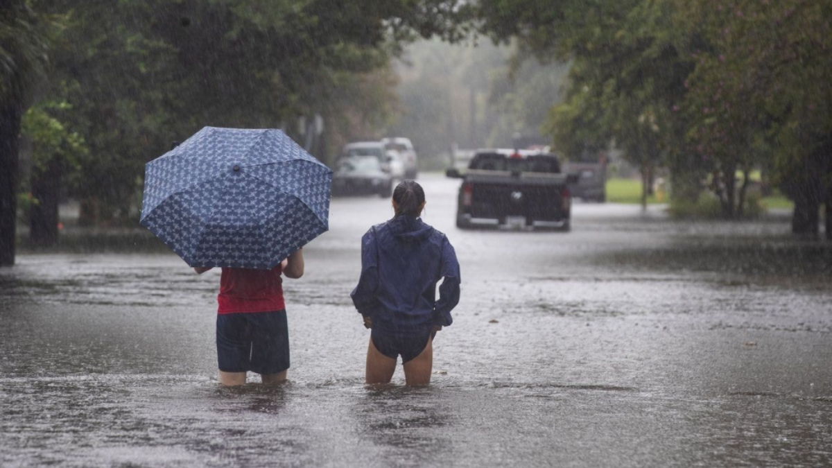
The I-85 corridor, a critical transportation route, is particularly vulnerable due to nearby rivers and urban areas with insufficient drainage systems. Motorists are urged to remain vigilant, as standing water and reduced visibility may create hazardous travel conditions. Flash flood watches are already in effect for Greenville, Spartanburg, and nearby counties.

Authorities advise residents to prepare by securing outdoor belongings, clearing debris from storm drains, and avoiding travel through flood-prone areas. Homeowners in at-risk zones should monitor water levels closely and be prepared to evacuate if necessary.
Severe Storm Hazards
In addition to flooding, forecasters warn of isolated severe thunderstorms, with primary threats including wind gusts reaching 60 mph and hail. While the risk of tornadoes remains low, it cannot be entirely ruled out.
Preparing for Emergencies
Local emergency teams are ready to respond, with shelters prepared to assist those who may need to evacuate. Residents are encouraged to have emergency kits on hand, including flashlights, batteries, bottled water, and non-perishable food. Staying informed through reliable weather alerts and local updates is also critical.

Looking Ahead
The storm system is expected to exit the area by late Sunday night, ushering in cooler weather. However, lingering flooding may pose ongoing challenges, and officials urge caution when navigating affected areas. Residents should avoid walking or driving through floodwaters, as they can be deeper and more hazardous than they appear.
For the latest weather updates and safety guidance, visit the National Weather Service website.
Note: Every piece of content is rigorously reviewed by our team of experienced writers and editors to ensure its accuracy. Our writers use credible sources and adhere to strict fact-checking protocols to verify all claims and data before publication. If an error is identified, we promptly correct it and strive for transparency in all updates.